
[ad_1]
Two strong M6.0 earthquakes hit Alaska and Papua New Guinea within 4 hours on July 19, 2018.
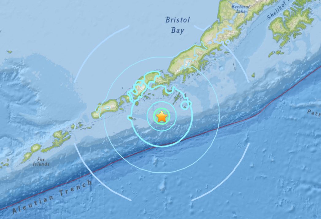
The first of the two struck 92km WSW of Chernabura Island in Alaska at 14:16 UTC on July 19, 2018 and at a depth of 17.1 km (10.6 miles). There are about 400 people living within 100 km (62 miles). A tsunami was not produced. This earthquake is expected to have a low humanitarian impact based on the magnitude and the affected population and their vulnerability.
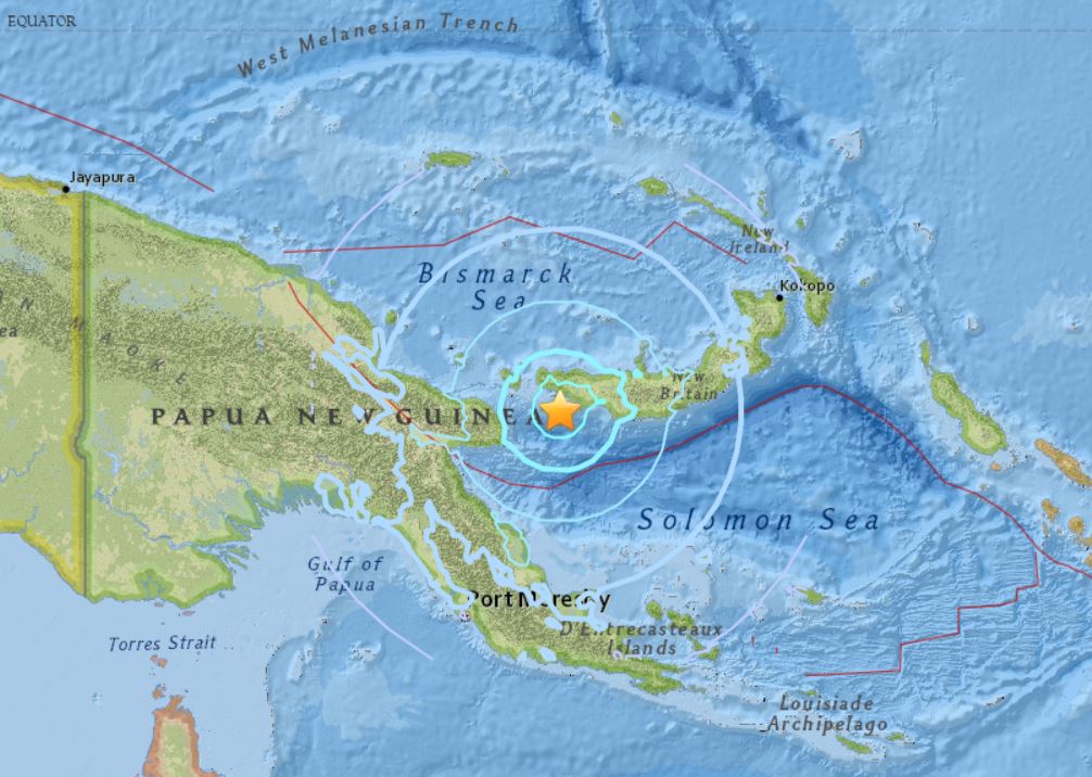
4 hours later, at 18:30 UTC, the second magnitude 6.0 earthquake hit 95km W of Kandrian, Papua New Guinea at a depth of 31.2 km (19.4 miles). Nobody has reported the quake in the area as less than 3000 people live in the region. A tsunami was not produced.
But still… Two strong earthquakes with magnitude => M6.0 is pretty rare these days.
Be safe. Get prepared!
Follow us: Facebook and Twitter
USGS – M 6.0 – 92km WSW of Chernabura Island, Alaska
USGS – 95km W of Kandrian, Papua New Guinea
[ad_2]
Source link